
Santo Tomas topographic map
Interactive map
Click on the map to display elevation.
About this map
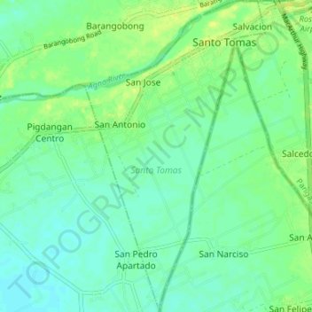
Name: Santo Tomas topographic map, elevation, terrain.
Location: Santo Tomas, Pangasinan, Ilocos Region, Philippines (15.83955 120.56619 15.88653 120.58868)
Average elevation: 24 m
Minimum elevation: 18 m
Maximum elevation: 33 m