
Rose Hill topographic map
Interactive map
Click on the map to display elevation.
About this map
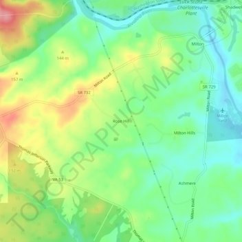
Name: Rose Hill topographic map, elevation, terrain.
Location: Rose Hill, Albemarle County, Virginia, USA (37.97236 -78.43862 38.01236 -78.39862)
Average elevation: 122 m
Minimum elevation: 81 m
Maximum elevation: 189 m