
Chini Lake topographic map
Interactive map
Click on the map to display elevation.
About this map
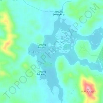
Name: Chini Lake topographic map, elevation, terrain.
Location: Chini Lake, C108, Paloh Hinai, Pahang, Malaysia (3.40808 102.90072 3.44759 102.93085)
Average elevation: 40 m
Minimum elevation: 1 m
Maximum elevation: 209 m