
Starnberg topographic map
Interactive map
Click on the map to display elevation.
About this map
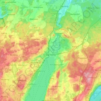
Name: Starnberg topographic map, elevation, terrain.
Location: Starnberg, Landkreis Starnberg, Baviera, 82319, Germania (47.97293 11.22364 48.03920 11.43350)
Average elevation: 631 m
Minimum elevation: 554 m
Maximum elevation: 729 m