
Ávila topographic map
Interactive map
Click on the map to display elevation.
About this map
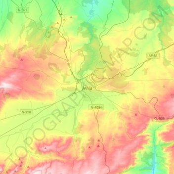
Name: Ávila topographic map, elevation, terrain.
Location: Ávila, Castile and León, Spain (40.56076 -4.81645 40.75367 -4.45361)
Average elevation: 1,157 m
Minimum elevation: 840 m
Maximum elevation: 1,555 m