
Rhode Island topographic map
Interactive map
Click on the map to display elevation.
About this map
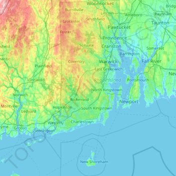
Name: Rhode Island topographic map, elevation, terrain.
Location: Rhode Island, Estados Unidos (41.09599 -71.90741 42.01894 -71.09996)
Average elevation: 53 m
Minimum elevation: -8 m
Maximum elevation: 393 m