
Kihun topographic map
Interactive map
Click on the map to display elevation.
About this map
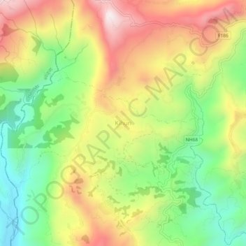
Name: Kihun topographic map, elevation, terrain.
Location: Kihun, Bhimad, Tanahun, Gandaki Province, Nepal (27.93969 83.96980 27.97969 84.00980)
Average elevation: 842 m
Minimum elevation: 492 m
Maximum elevation: 1,246 m
Other topographic maps
Click on a map to view its topography, its elevation and its terrain.
Byas
Nepal > Gandaki Province > Tanahun
Byas, Tanahun, Gandaki Province, Nepal
Average elevation: 664 m