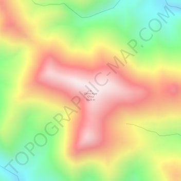
Cerro Acay Chico topographic map
Interactive map
Click on the map to display elevation.
About this map
Name: Cerro Acay Chico topographic map, elevation, terrain.
Average elevation: 4,670 m
Minimum elevation: 4,315 m
Maximum elevation: 4,960 m

Click on the map to display elevation.
Name: Cerro Acay Chico topographic map, elevation, terrain.
Average elevation: 4,670 m
Minimum elevation: 4,315 m
Maximum elevation: 4,960 m