
Otis topographic map
Interactive map
Click on the map to display elevation.
About this map
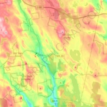
Name: Otis topographic map, elevation, terrain.
Location: Otis, Berkshire County, Massachusetts, United States (42.13880 -73.16209 42.25262 -73.00787)
Average elevation: 462 m
Minimum elevation: 334 m
Maximum elevation: 584 m