
Klabbeek topographic map
Interactive map
Click on the map to display elevation.
About this map
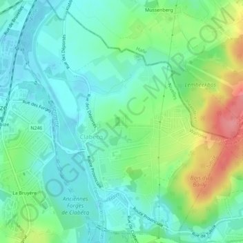
Name: Klabbeek topographic map, elevation, terrain.
Location: Klabbeek, Tubeke, Nijvel, Waals-Brabant, Wallonië, België (50.67755 4.20841 50.70523 4.24654)
Average elevation: 58 m
Minimum elevation: 36 m
Maximum elevation: 111 m