
Bou Tabelout topographic map
Interactive map
Click on the map to display elevation.
About this map
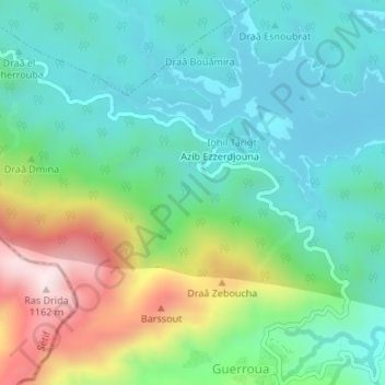
Name: Bou Tabelout topographic map, elevation, terrain.
Location: Bou Tabelout, Erraguene, daïra Ziama Mansouriah, Jijel, RADP (36.57256 5.51792 36.59256 5.53792)
Average elevation: 791 m
Minimum elevation: 647 m
Maximum elevation: 1,144 m