
Bou Henni topographic map
Interactive map
Click on the map to display elevation.
About this map
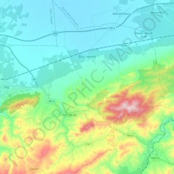
Name: Bou Henni topographic map, elevation, terrain.
Location: Bou Henni, Daïra Sig, Mascara, 29022, Algérie (35.44058 -0.13241 35.61974 0.01026)
Average elevation: 169 m
Minimum elevation: 4 m
Maximum elevation: 687 m