
Simmertal topographic map
Interactive map
Click on the map to display elevation.
About this map
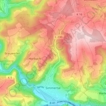
Name: Simmertal topographic map, elevation, terrain.
Average elevation: 324 m
Minimum elevation: 169 m
Maximum elevation: 445 m
Other topographic maps
Click on a map to view its topography, its elevation and its terrain.
Rüdesheim
Duitsland > Rijnland-Palts > Landkreis Bad Kreuznach
Rüdesheim, Landkreis Bad Kreuznach, Rijnland-Palts, 55593, Duitsland
Average elevation: 165 m