
Langsdorf topographic map
Interactive map
Click on the map to display elevation.
About this map
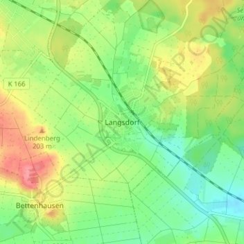
Name: Langsdorf topographic map, elevation, terrain.
Location: Langsdorf, Lich, Landkreis Gießen, Hessen, 35423, Deutschland (50.47338 8.83426 50.51338 8.87426)
Average elevation: 173 m
Minimum elevation: 142 m
Maximum elevation: 216 m