
Steppach topographic map
Interactive map
Click on the map to display elevation.
About this map
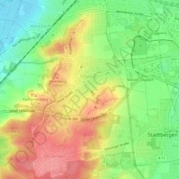
Name: Steppach topographic map, elevation, terrain.
Location: Steppach, Neusäß, Landkreis Augsburg, Bayern, Deutschland (48.36483 10.78957 48.38342 10.83450)
Average elevation: 501 m
Minimum elevation: 458 m
Maximum elevation: 544 m