
Arikere topographic map
Interactive map
Click on the map to display elevation.
About this map
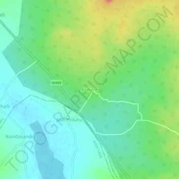
Name: Arikere topographic map, elevation, terrain.
Location: Arikere, Srinivasapura taluku, Kolar, Karnataka, India (13.27830 78.23102 13.31830 78.27102)
Average elevation: 828 m
Minimum elevation: 808 m
Maximum elevation: 868 m