
Tonpheung District topographic map
Interactive map
Click on the map to display elevation.
About this map
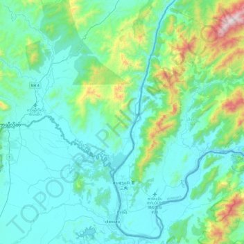
Name: Tonpheung District topographic map, elevation, terrain.
Location: Tonpheung District, Bokeo Province, Laos (20.24412 100.08432 20.66288 100.55353)
Average elevation: 551 m
Minimum elevation: 347 m
Maximum elevation: 1,654 m
Other topographic maps
Click on a map to view its topography, its elevation and its terrain.