
Tesón topographic map
Interactive map
Click on the map to display elevation.
About this map
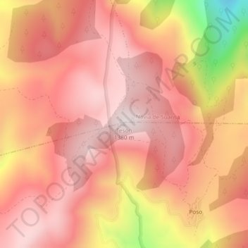
Name: Tesón topographic map, elevation, terrain.
Location: Tesón, Cervantes, Os Ancares, Lugo, Galiza, 27667, Espanha (42.90219 -6.89432 42.90229 -6.89422)
Average elevation: 1,187 m
Minimum elevation: 738 m
Maximum elevation: 1,370 m
Other topographic maps
Click on a map to view its topography, its elevation and its terrain.
Quindous
Espanha > Galiza > Os Ancares > Cervantes
Quindous, Cervantes, Os Ancares, Lugo, Galiza, 27662, Espanha
Average elevation: 900 m