
Hahnen topographic map
Interactive map
Click on the map to display elevation.
About this map
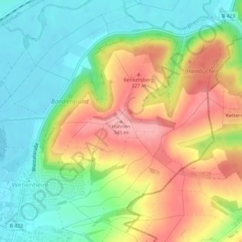
Name: Hahnen topographic map, elevation, terrain.
Location: Hahnen, Blieskastel, Saarpfalz-Kreis, Saarland, Germania (49.24774 7.28818 49.24784 7.28828)
Average elevation: 270 m
Minimum elevation: 213 m
Maximum elevation: 345 m