
Mukosa topographic map
Interactive map
Click on the map to display elevation.
About this map
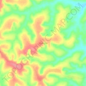
Name: Mukosa topographic map, elevation, terrain.
Location: Mukosa, Lulua, Central Kasai, DR Congo (-6.35333 22.94667 -6.31333 22.98667)
Average elevation: 763 m
Minimum elevation: 717 m
Maximum elevation: 810 m