
Betung topographic map
Interactive map
Click on the map to display elevation.
About this map
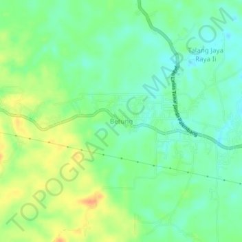
Name: Betung topographic map, elevation, terrain.
Location: Betung, Banyuasin, South Sumatra, Indonesia (-2.86579 104.19435 -2.82579 104.23435)
Average elevation: 25 m
Minimum elevation: 9 m
Maximum elevation: 48 m