
Kattenbos topographic map
Interactive map
Click on the map to display elevation.
About this map
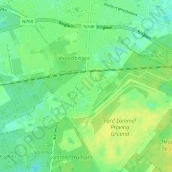
Name: Kattenbos topographic map, elevation, terrain.
Location: Kattenbos, Lommel, Limburg, Vlaanderen, 3920, België (51.18819 5.29281 51.22819 5.33281)
Average elevation: 50 m
Minimum elevation: 42 m
Maximum elevation: 58 m