
Champlon topographic map
Interactive map
Click on the map to display elevation.
About this map
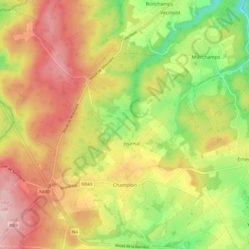
Name: Champlon topographic map, elevation, terrain.
Location: Champlon, Tenneville, Marche-en-Famenne, Wallonië, 6971, België (50.09384 5.43789 50.15146 5.53397)
Average elevation: 431 m
Minimum elevation: 295 m
Maximum elevation: 558 m