
Honville topographic map
Interactive map
Click on the map to display elevation.
About this map
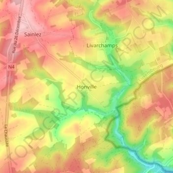
Name: Honville topographic map, elevation, terrain.
Location: Honville, Luxemburg, Wallonië, België (49.88904 5.70894 49.92904 5.74894)
Average elevation: 447 m
Minimum elevation: 357 m
Maximum elevation: 513 m