
New Ashford topographic map
Interactive map
Click on the map to display elevation.
About this map
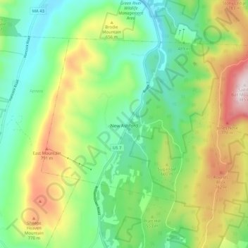
Name: New Ashford topographic map, elevation, terrain.
Location: New Ashford, Berkshire County, Massachusetts, United States (42.57919 -73.27356 42.63133 -73.17154)
Average elevation: 552 m
Minimum elevation: 286 m
Maximum elevation: 984 m