
Banjarmasin topographic map
Interactive map
Click on the map to display elevation.
About this map
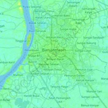
Name: Banjarmasin topographic map, elevation, terrain.
Location: Banjarmasin, Kalimantan Selatan, Indonesia (-3.38225 114.52228 -3.26741 114.65959)
Average elevation: 4 m
Minimum elevation: -1 m
Maximum elevation: 14 m