
Ruisbroek topographic map
Interactive map
Click on the map to display elevation.
About this map
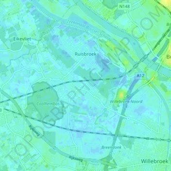
Name: Ruisbroek topographic map, elevation, terrain.
Average elevation: 3 m
Minimum elevation: -14 m
Maximum elevation: 15 m
Other topographic maps
Click on a map to view its topography, its elevation and its terrain.
Breendonk
België > Antwerpen > Mechelen > Puurs-Sint-Amands
Breendonk, Puurs-Sint-Amands, Mechelen, Antwerpen, Vlaanderen, België
Average elevation: 6 m