
Маглић topographic map
Interactive map
Click on the map to display elevation.
About this map
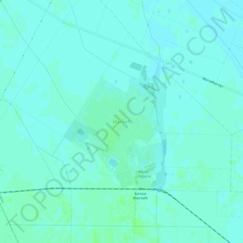
Name: Маглић topographic map, elevation, terrain.
Location: Маглић, Јужнобачки управни округ, Voïvodine, Serbie (45.34279 19.51207 45.38279 19.55207)
Average elevation: 83 m
Minimum elevation: 80 m
Maximum elevation: 86 m