
Vilar topographic map
Interactive map
Click on the map to display elevation.
About this map
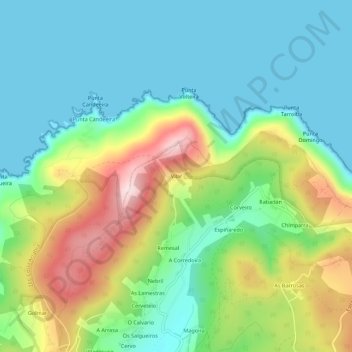
Name: Vilar topographic map, elevation, terrain.
Average elevation: 121 m
Minimum elevation: 0 m
Maximum elevation: 385 m
Other topographic maps
Click on a map to view its topography, its elevation and its terrain.
O Campo do Hospital
Espagne > Galice > Ferrol > Cedeira
O Campo do Hospital, Montoxo, Cedeira, Ferrol, A Corogne, Galice, 15359, Espagne
Average elevation: 252 m