
Utha topographic map
Interactive map
Click on the map to display elevation.
About this map
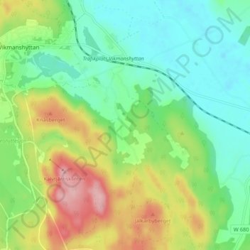
Name: Utha topographic map, elevation, terrain.
Location: Utha, Hedemora kommun, Dalarnas län, Svealand, 776 95, Zweden (60.26653 15.84537 60.30653 15.88537)
Average elevation: 145 m
Minimum elevation: 90 m
Maximum elevation: 248 m