
Dorst topographic map
Interactive map
Click on the map to display elevation.
About this map
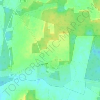
Name: Dorst topographic map, elevation, terrain.
Location: Dorst, Calvörde, Flechtingen, Börde, Saksen-Anhalt, Duitsland (52.37093 11.36936 52.39505 11.40727)
Average elevation: 65 m
Minimum elevation: 55 m
Maximum elevation: 76 m