
Herbouvilliers topographic map
Interactive map
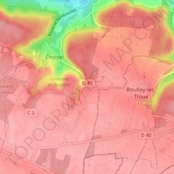
Click on the map to display elevation.
About this map
Name: Herbouvilliers topographic map, elevation, terrain.
Average elevation: 160 m
Minimum elevation: 78 m
Maximum elevation: 181 m
Other topographic maps
Click on a map to view its topography, its elevation and its terrain.
La Ferté
France > Île-de-France > Yvelines > Choisel
La Ferté, Choisel, Rambouillet, Yvelines, Île-de-France, France métropolitaine, 78460, France
Average elevation: 155 m
Château de Breteuil
France > Île-de-France > Yvelines > Choisel
Château de Breteuil, Chemin Rural de la Fillolière à Choisel, La Fillolière, Choisel, Rambouillet, Yvelines, Île-de-France, France métropolitaine, 78460, France
Average elevation: 163 m