
Parung topographic map
Interactive map
Click on the map to display elevation.
About this map
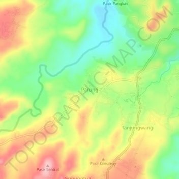
Name: Parung topographic map, elevation, terrain.
Location: Parung, West Java, Indonesia (-6.61689 107.70364 -6.57689 107.74364)
Average elevation: 184 m
Minimum elevation: 107 m
Maximum elevation: 269 m