
Beba topographic map
Interactive map
Click on the map to display elevation.
About this map
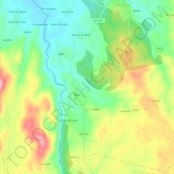
Name: Beba topographic map, elevation, terrain.
Location: Beba, Mazaricos, O Xallas, A Coruña, Galicia, 15258, Spain (42.89377 -9.01735 42.93767 -8.97282)
Average elevation: 335 m
Minimum elevation: 259 m
Maximum elevation: 443 m
Other topographic maps
Click on a map to view its topography, its elevation and its terrain.