
M'Sara topographic map
Interactive map
Click on the map to display elevation.
About this map
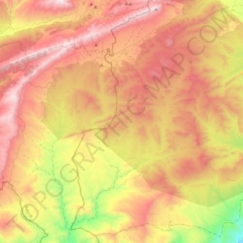
Name: M'Sara topographic map, elevation, terrain.
Location: M'Sara, Daïra Bouhmama, Khenchela, Algérie (35.01457 6.49730 35.29154 6.85332)
Average elevation: 1,334 m
Minimum elevation: 557 m
Maximum elevation: 2,036 m