
Ramokgwebana topographic map
Interactive map
Click on the map to display elevation.
About this map
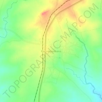
Name: Ramokgwebana topographic map, elevation, terrain.
Location: Ramokgwebana, North-East District, Botswana (-20.60720 27.62629 -20.56720 27.66629)
Average elevation: 1,267 m
Minimum elevation: 1,236 m
Maximum elevation: 1,305 m