
Sei Mangkei topographic map
Interactive map
Click on the map to display elevation.
About this map
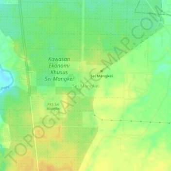
Name: Sei Mangkei topographic map, elevation, terrain.
Location: Sei Mangkei, Simalungun, North Sumatra, Sumatra, Indonesia (3.11381 99.33170 3.15381 99.37170)
Average elevation: 54 m
Minimum elevation: 38 m
Maximum elevation: 66 m