
Murphys Corner topographic map
Interactive map
Click on the map to display elevation.
About this map
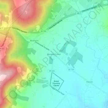
Name: Murphys Corner topographic map, elevation, terrain.
Location: Murphys Corner, Loudoun County, Virginia, 20135, USA (39.08622 -77.84444 39.12622 -77.80444)
Average elevation: 239 m
Minimum elevation: 144 m
Maximum elevation: 463 m