
Mashtul Al-Suq topographic map
Interactive map
Click on the map to display elevation.
About this map
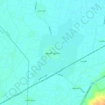
Name: Mashtul Al-Suq topographic map, elevation, terrain.
Location: Mashtul Al-Suq, Eastern, 44611, Egypt (30.32094 31.34005 30.40094 31.42005)
Average elevation: 13 m
Minimum elevation: 9 m
Maximum elevation: 45 m
Other topographic maps
Click on a map to view its topography, its elevation and its terrain.
Manshiyat al Sawamah
Manshiyat al Sawamah, Eastern, 44768, Egypt
Average elevation: 6 m
Abu Hammad al Mahattah
Abu Hammad al Mahattah, Eastern, 44661, Egypt
Average elevation: 9 m