
Khan Kamboul topographic map
Interactive map
Click on the map to display elevation.
About this map
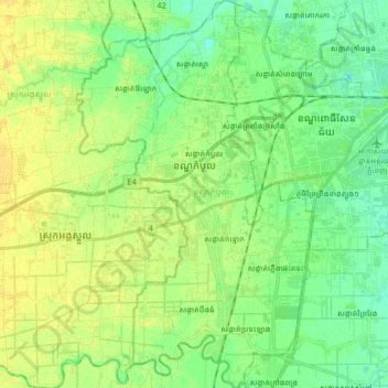
Name: Khan Kamboul topographic map, elevation, terrain.
Location: Khan Kamboul, Phnom Penh, Cambodia (11.44497 104.72040 11.60631 104.82137)
Average elevation: 17 m
Minimum elevation: 7 m
Maximum elevation: 27 m
Other topographic maps
Click on a map to view its topography, its elevation and its terrain.
Phum Kien Khleang
Cambodia > Phnom Penh > Khan Chroy Changvar > Sangkat Chroy Changvar
Average elevation: 9 m