
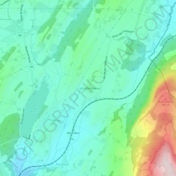
La Lôche-Dessus topographic map
Interactive map
Click on the map to display elevation.
About this map
Name: La Lôche-Dessus topographic map, elevation, terrain.
Average elevation: 726 m
Minimum elevation: 612 m
Maximum elevation: 1,076 m
Other topographic maps
Click on a map to view its topography, its elevation and its terrain.
Puidoux-Gare
Suisse > Vaud > District de Lavaux-Oron > Puidoux
Puidoux-Gare, Puidoux, District de Lavaux-Oron, Vaud, 1070, Suisse
Average elevation: 612 m