
Mouland topographic map
Interactive map
Click on the map to display elevation.
About this map
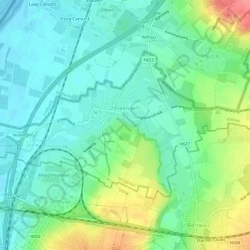
Name: Mouland topographic map, elevation, terrain.
Location: Mouland, Fourons, Tongres, Limbourg, 3790 BE, Belgique (50.74571 5.68217 50.76472 5.73288)
Average elevation: 73 m
Minimum elevation: 50 m
Maximum elevation: 126 m