
Muncul topographic map
Interactive map
Click on the map to display elevation.
About this map
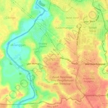
Name: Muncul topographic map, elevation, terrain.
Location: Muncul, South Tangerang, Banten, 15312, Indonesia (-6.36363 106.64424 -6.32363 106.68424)
Average elevation: 47 m
Minimum elevation: 14 m
Maximum elevation: 70 m