
Cileungsi topographic map
Interactive map
Click on the map to display elevation.
About this map
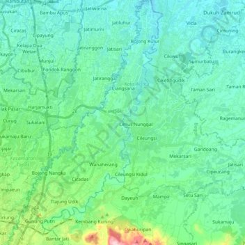
Name: Cileungsi topographic map, elevation, terrain.
Location: Cileungsi, Depok, West Java, 17151, Indonesia (-6.48202 106.89241 -6.30416 106.98110)
Average elevation: 73 m
Minimum elevation: 22 m
Maximum elevation: 305 m