
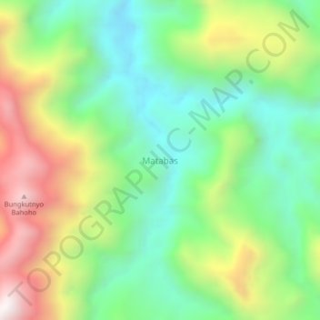
Matabas topographic map
Interactive map
Click on the map to display elevation.
About this map
Name: Matabas topographic map, elevation, terrain.
Location: Matabas, Banggai Regency, Central Sulawesi, Indonesia (-1.00417 122.28526 -0.96417 122.32526)
Average elevation: 781 m
Minimum elevation: 356 m
Maximum elevation: 1,491 m