
Porto Torres topographic map
Interactive map
Click on the map to display elevation.
About this map
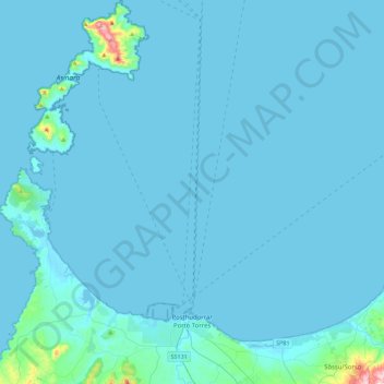
Name: Porto Torres topographic map, elevation, terrain.
Location: Porto Torres, Sassari, Sardegna, 07046, Italia (40.78142 8.20876 41.12073 8.45885)
Average elevation: 15 m
Minimum elevation: -1 m
Maximum elevation: 414 m