
Cook Lake topographic map
Interactive map
Click on the map to display elevation.
About this map
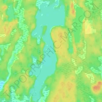
Name: Cook Lake topographic map, elevation, terrain.
Location: Cook Lake, Snow Lake, Manitoba, Canada (54.84731 -100.18767 54.88406 -100.16480)
Average elevation: 302 m
Minimum elevation: 287 m
Maximum elevation: 319 m
Other topographic maps
Click on a map to view its topography, its elevation and its terrain.
Grass River;Tramping Lake
Grass River;Tramping Lake, Snow Lake, Manitoba, Canada
Average elevation: 280 m