
Sathmar topographic map
Interactive map
Click on the map to display elevation.
About this map
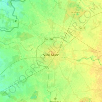
Name: Sathmar topographic map, elevation, terrain.
Location: Sathmar, Rumänien (47.69783 22.75602 47.89458 22.97684)
Average elevation: 124 m
Minimum elevation: 115 m
Maximum elevation: 133 m
Other topographic maps
Click on a map to view its topography, its elevation and its terrain.