
Rioverde topographic map
Interactive map
Click on the map to display elevation.
About this map
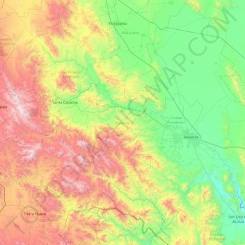
Name: Rioverde topographic map, elevation, terrain.
Location: Rioverde, San Luis Potosí, 79610, Messico (21.55806 -100.40408 22.40216 -99.74135)
Average elevation: 1,454 m
Minimum elevation: 807 m
Maximum elevation: 2,703 m