
Hünfelden topographic map
Interactive map
Click on the map to display elevation.
About this map
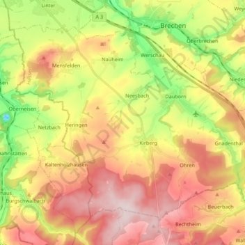
Name: Hünfelden topographic map, elevation, terrain.
Location: Hünfelden, Landkreis Limburg-Weilburg, Hessen, 65597, Duitsland (50.27548 8.06980 50.36023 8.23521)
Average elevation: 235 m
Minimum elevation: 61 m
Maximum elevation: 398 m